Khaptad National Park
Khaptad National Park Trek
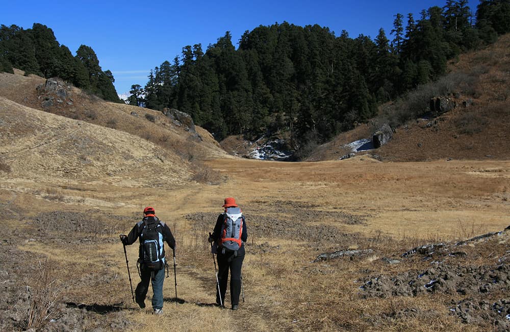
The trek to Khaptad National Park is an idyllic Nepal mountain experience interlaced with intriguing history, sacred pilgrimage sites, pristine forests filled with wildlife and an unbeatable 300km panorama of the Himalaya!
Key points:
- Trekking Grade: Grade 3
- Duration & distance: About 9 days total
- Gradient: Short steep sections
- Quality of path: Formed and rough track with some obstacles
- Quality of markings: Signs at beginning, end and major intersections
- Experience required: No experience required
- Walking times: Less than 7¼ hours per day
- Steps: Occasional steps on some days
- Highest point: 3276m
- Best season: Mar-May to Oct-Dec
- Accommodation: Camping
- Recommended map: NP110 GHT Series Far-West Nepal, Himalayan Map House, 2017
- Recommended Guide Book: Nepal Trekking and the Great Himalaya Trail, Trailblazer, 2020.

GRADE 3


When to Trek to Khaptad National Park?
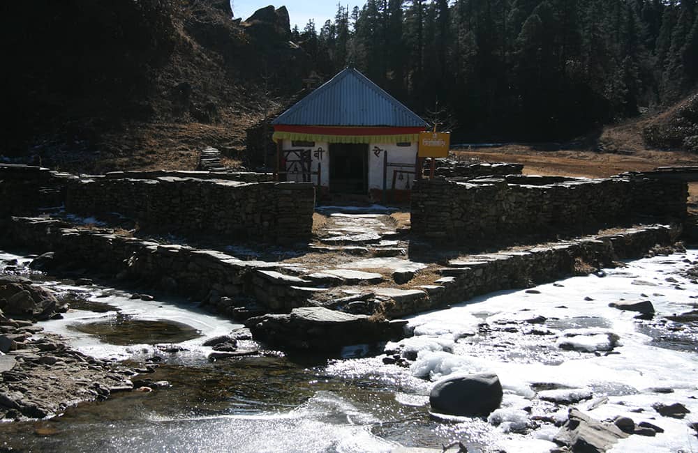
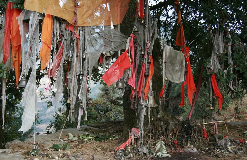
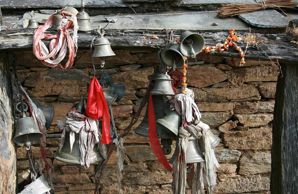
Since it was established in 1984, Khaptad National Park has received a few hundred registered visitors. This is an amazing contrast to the thousands of pilgrims who come on the full moon each August (during the monsoon) for a mela and to honour a famous yogi, Khaptad Baba. He was also known as Swami Sachchidananda, a spiritual saint who traveled along the high mountainous regions and settled in the centre of the Park.
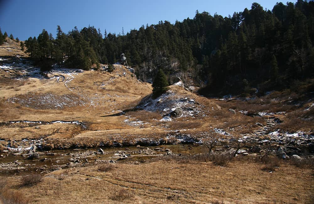
The monsoon rains are unpredictable, with sudden heavy downpours closing roads and infrastructure for weeks at a time. Winter snow closes the Park from late December to the end of February before the spring sun brings life back to patans (grassy meadows) and forests.
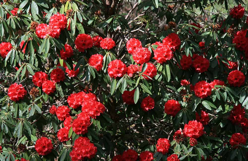
The post-monsoon period has clear skies for landscape photography, whereas spring is famous for perhaps the best wildflower and medicinal plant display in Nepal.
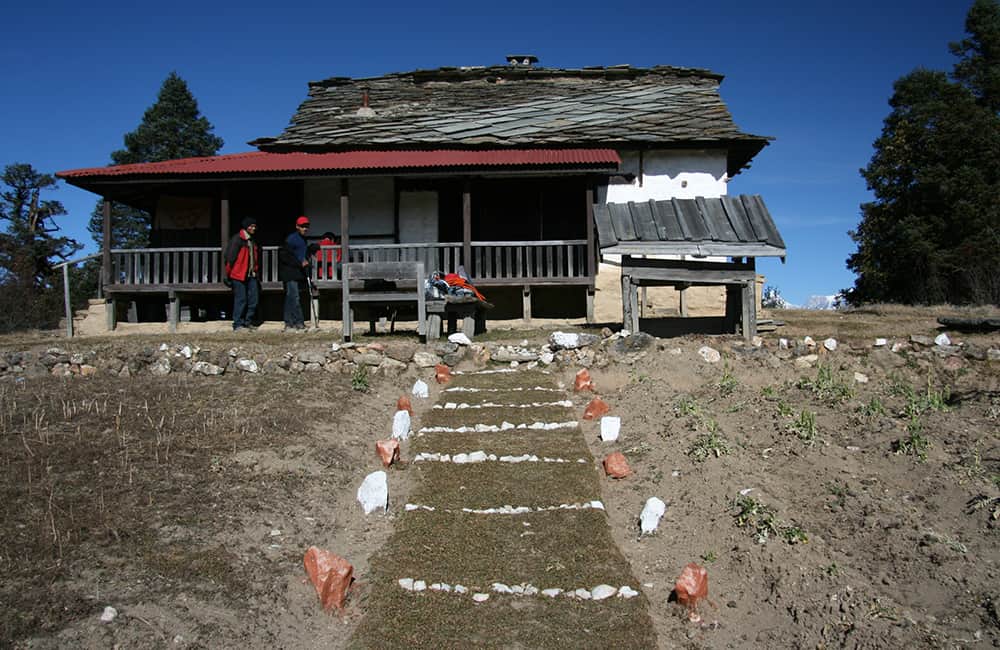
Khaptad National Park Accommodation and Permits
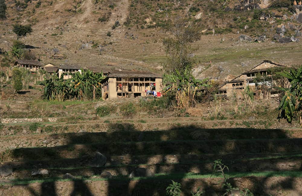
Currently, camping is the only way to explore Khaptad National Park, however, some basic lodges do exist in the larger communities outside of the Park.
To visit Khaptad National Park you require a Park Entry permit – NRs 3000 per person (foreigners), NRs 1000 (SAARC nationals) and NRs 100 (Nepali nationals).
Foreigners may also need a Mugu or Bagjang Restricted Area Permit US$90 for 10 days per person – minimum group size of two (2) foreigners.

Khaptad National Park Route Options
Lying on the junction of four districts Bajhang, Doti, Achham and Bajura is the small and thoroughly picturesque Khaptad National Park. The Park covers a large plateau thrust up from amid the pahar, just to the south of the Great Himalaya Range.
Trails criss-cross the region to the remote district of Darchula (see Far West Discovery Trek), the Saipal and Api Himals (8 days), Rara Lake and dozens of sites throughout the mid-hills.
From Kathmandu you can drive or fly to Nepalgunj. Then it’s a 6hr drive to the road-head town of Silgadhi and the main trail to the Park headquarters. Alternatively, you could charter a flight to Chainpur (Bajura District), Dipayal (Doti District), Kolti (Bajura District) or Sanphebagar (Accham District) and take one of the many minor trails to the Park.
This itinerary starts at Silgadhi and ends at Sanphebagar, although the most popular route is to return to Silgadhi on the same trail.
How Much does the Khaptad National Park Trek Cost?
To help you budget and plan, we’ve made a comprehensive costing explanation on How Much Does the GHT Cost? But here’s a simplified breakdown.
GHT Khaptad National Park Trek for 9-days estimated costs:
- Solo as much as possible US$2,535.
- Twin-share with minimum guiding US$1,860 per person.
- Twin-share fully supported US$2,795 per person.
Do you have any questions about costs? Please Get in Touch for more details.

Customisation is Normal
Want to do things a little differently? Maybe take some extra time, or go a bit faster? Or avoid technical sections or combine with other trails? Every GHT trek is different and that changes the price, but please feel free to Get in Touch to ask questions and how to customise your own trek.
Bookings
Please note that www.greathimalayatrail.com does not handle bookings for treks. We are here to inform you about the trails and logistics, but you will need to book through a registered trekking operator in Nepal. If you would like an operator recommendation or feedback on a company you are already talking to, then please Get in Touch.
Your Impacts on the Khaptad National Park Trek

Solo (Independent)
Short treks are have low social, GHG and waste impacts.
Try to combine with Darchula to Rara, or the Rara Lake National Park trek improve your social impact.


Twin Share (Independent)
Short treks are have low social, GHG and waste impacts.
Try to combine with Darchula to Rara, or the Rara Lake National Park trek improve your social impact.


Camping (supported)
The social impact of camping in the Far West is high, and the footprint is low.
If you want a short, positive impact trek in Nepal then this is an excellent choice.

For more information about social, Green House Gas and waste impacts of treks, see The Impact of your Trek.
-
Destination
-
DepartureKathmandu
-
Dress CodeLow-altitude alpine clothing and camping equipment required
-
IncludedKhaptad National Park
-
GradeGrade 3
-
Idea Date Range15/10/2021
-
Style of TrekCamping
FROM OUR GALLERY
This is an idyllic Nepal trekking experience interlaced with intriguing history, sacred pilgrimage sites, pristine forests filled with wildlife and an unbeatable 300km panorama of the Himalaya!
Day 1: Kathmandu–Nepalgunj/Bardia all day
Day 2: Nepalgunj–Silgadhi all day
Day 3: Silgadhi–Jhingrana 6hrs
Day 4: Jhingrana–Bichpani 4½hrs
Day 5: Bichpani–National Park Headquarters (HQ) 4¼hrs
Day 6: National Park HQ all day
Day 7: National Park HQ–Bomarle 7½hrs
Days 8-9: Bomarle–Sanphebagar–Silgadhi/nepalgunj–Kathmandu 5¼hrs’ trekking/all day drive