Karnali Corridor Trek
Karnali Corridor Trek
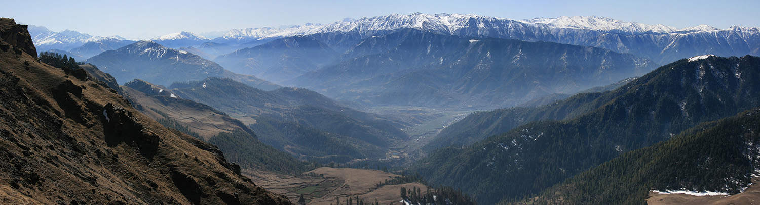
An epic trans-Himalayan journey, the Karnali Corridor Trek is a wonderful insight to the beauty and cultures of Far West Nepal. From Rara Lake you pass through forests, over passes, enjoy great mountain views and end at Simikot, a gateway to Tibet.
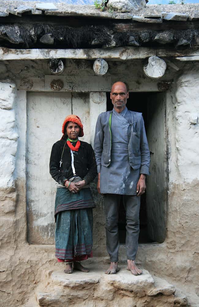
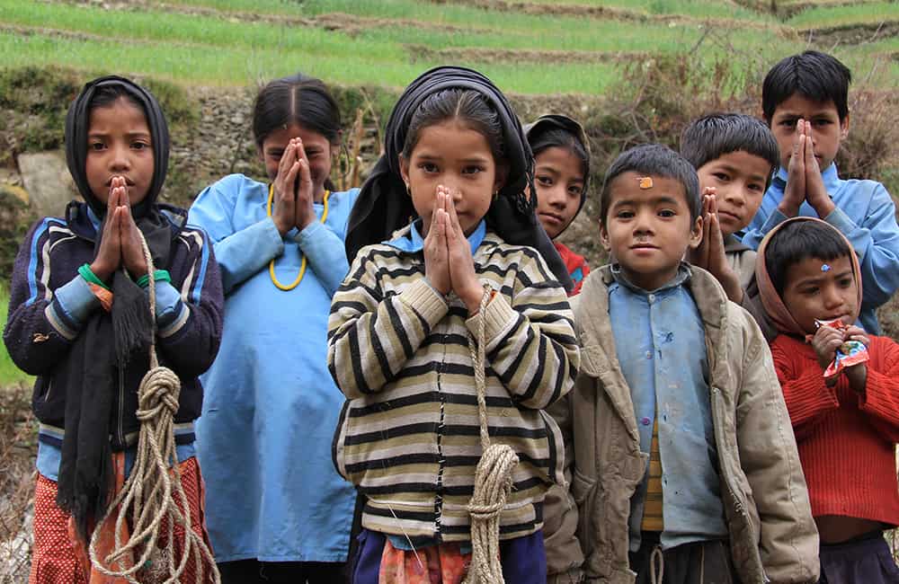
The far west of Nepal is like going back in time, trekking is as it was some twenty or more years ago. Communities are very poor but open-hearted and extremely friendly. Please take care to leave a positive impression and only footprints wherever you go. And if you can, add a little extra time to linger and get to know the locals, you will never forget the experience!
Key points:
- Trekking Grade: Grade 4
- Duration & distance: About 12 days total
- Gradient: Very steep sections with some arduous days
- Quality of path: Formed and rough track with some obstacles
- Quality of markings: Limited signage
- Experience required: Experienced walkers require navigation skills
- Walking times: Less than 6¾ hours per day
- Steps: Occasional steps on some days
- Highest point: 4037m
- Best season: Apr-May and Oct-Dec
- Accommodation: Camping
- Recommended map: NP110 GHT Series Far-West Nepal, Himalayan Map House, 2017
- Recommended Guide Book: Nepal Trekking and the Great Himalaya Trail, Trailblazer, 2020.

GRADE 4


When to Trek to the Karnali Corridor?
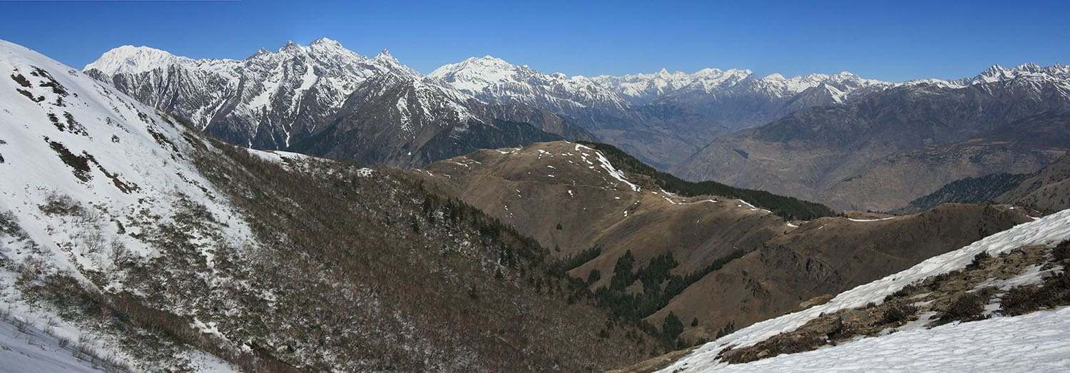
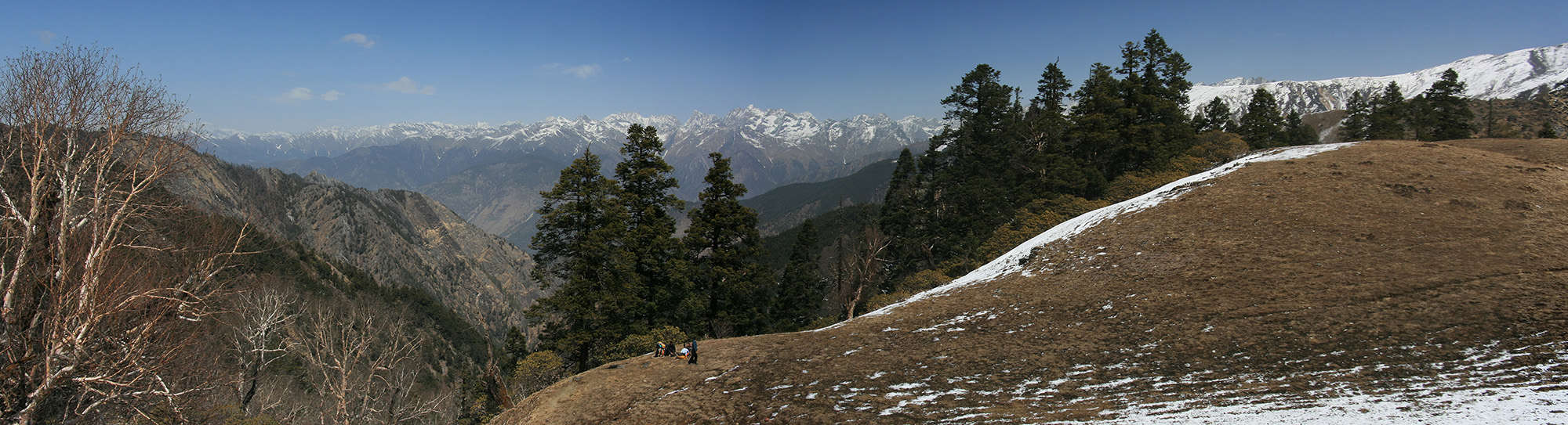
The Karnali Nadi (river) bisects the entire Himalayan range, so the river existed before the mountains rose up! So the Karnali Corridor Trek is one of the few treks that is genuinely trans-himalayan. This means you experience the flora, fauna and cultures of the southern, central and high Himalayan ranges. You also get to experience the weather systems of each range.
Much of the Karnali Corridor Trek has a typical monsoonal weather profile, with good dry trekking windows in April to May and October to November. Rara is Nepal’s largest lake and is at its prettiest during spring when wild flowers cover the forest floor in May.
Throughout far west Nepal, the monsoon is very unpredictable with extremely heavy rains, which can cause serious flooding. Rains are mixed with week-long periods of relatively light rain. From November to February, cold temperatures accompany clear skies for great photography.
Karnali Corridor Trek Accommodation and Permits
There are very few lodges along the Rara to Simikot trail, so camping is really the only option.
If you want to visit Rara Lake National Park you will need to pay the entry fee, NRs 3000 per person (foreigners), NRs 1000 (SAARC nationals) and NRs 100 (Nepali nationals).
You will also need restricted/controlled area permits to trek anywhere in Humla and Mugu districts. Foreigners permits are US$90 for 10 days per person – minimum group size of two (2) foreigners.

Karnali Corridor Trek Route Options
The Karnali Nadi is one of the mightiest rivers in the Himalaya and bisects the entire range linking the forested pahar with the Tibetan plateau. This trek follows the Karnali Corridor between the Kanjiroba range that forms the western border of Dolpo and Mugu and the Saipal Himal to the east. A new road is being built beside the river, but this trek takes higher trails that provide great views and a unique insight to some of Nepal’s remotest and least-developed regions.
This trek can be walked in either direction, although your choice of campsite will vary. If you start in Simikot there are lots of supplies in the bazaar but they are expensive. Alternatively, beginning in Rara means doing some shopping in the nearby town of Gamgadhi where there is a broad range of supplies. Your group should therefore be self-sufficient. This probably means bringing supplies from Nepalgunj to either Simikot (daily flights) or Talcha (near Gamgadhi, daily flights).
It is possible to connect this route with other treks in the region. Add 4 days to start from Jumla, see Rara Lake Circuit, or you can connect with the Limi Valley Trek via Hilsa (Yulsa), and you could connect with Darchula to Rara Lake.
How Much does the Karnali Corridor Trek Cost?
To help you budget and plan, we’ve made a comprehensive costing explanation on How Much Does the GHT Cost? But here’s a simplified breakdown.
GHT Karnali Corridor Trek for 12-days estimated costs:
- Solo as much as possible US$3,270.
- Twin-share with minimum guiding US$2,575 per person.
- Twin-share fully supported US$3,950 per person.
Do you have any questions about costs? Please Get in Touch for more details.

Customisation is Normal
Want to do things a little differently? Maybe take some extra time, or go a bit faster? Or avoid technical sections or combine with other trails? Every GHT trek is different and that changes the price, but please feel free to Get in Touch to ask questions and how to customise your own trek.
Bookings
Please note that www.greathimalayatrail.com does not handle bookings for treks. We are here to inform you about the trails and logistics, but you will need to book through a registered trekking operator in Nepal. If you would like an operator recommendation or feedback on a company you are already talking to, then please Get in Touch.
Your Impacts on the Karnali Corridor Trek

Solo (Independent) Trade Off
Solo trekkers have a moderate footprint and light social impact on the Karnali Corridor trek.
This is because of a high transport component, so perhaps think of combining with another trek?


Twin Share (Independent)
The social impact is one of the lowest for any trek and the footprint is moderate.
Twin trekkers will still need camping equipment and there are high transport costs. Perhaps combine with another trek?


Camping (supported)
The social impact of camping on the Karnali Corridor is high, and the footprint is moderate.
For a short camping trek, these impacts are relatively good.

For more information about social, Green House Gas and waste impacts of treks, see The Impact of your Trek.
-
Destination
-
DepartureKathmandu
-
Dress CodeLow-altitude alpine clothing and camping equipment required
-
IncludedKarnali Corridor Trek
-
GradeGrade 4
-
Idea Date Range15/10/2021
-
Style of TrekCamping
FROM OUR GALLERY
A wonderful insight to the beauty and cultures of Far West Nepal. From Rara Lake you pass through forests, over passes, enjoy great mountain views and end at Simikot, a gateway to Tibet.
Day 1: Kathmandu–Nepalgunj ALL DAY
Day 2: Nepalgunj–Talcha–Rara Lake 3¼hrs
Day 3: Rara Lake All day
Day 4: Rara Lake–Karnali Nadi camp 2½hrs
Day 5: Karnali Nadi Camp–Bam 5hrs
Day 6: Bam–Jogimara 6½hrs
Day 7: Jogimara–Piplan 6hrs
Day 8: Piplan–Apsia Lekh 6¾hrs
Day 9: Apsia Lekh–Punkha Khola 4¼hrs
Day 10: Punkha Khola–Yanchu Khola 6¼hrs
Day 11: River camp–Simikot 6½hrs
Day 12: Simikot–Nepalgunj–Kathmandu