
Guides, Maps and GPS
Now we’re getting seriously about your GHT adventure. Guides, Maps and GPS links to the planning resources you are going to need to:
- Decide which trek to do.
- How you might want to customise it.
- How to plan, organise, negotiate and book your trek.
There actually aren’t many guides, maps and GPS files that cover every Himalayan trek and the GHT. Finding current and accurate information can be tricky, and you may have lots of questions, please reach out and Get in Touch.
A word of warning about information sources.
There are many websites and folks who have some GHT experience who are happy to offer to help and provide advice, and normally it’s accurate. But things change quickly and frequently in Nepal, so please be cautious when faced given contradictory information, and if you want to double check, please ask us.
Having said that, there is a fair amount of information about Nepal but less so for India and Bhutan – this reflects the relative numbers of trekkers in each country. This website is designed to help you discover the Nepal, India and Bhutanese Himalayas and have a lifetime (or at least decades) of Himalayan hill-time!
Below you will find links to downloadable and viewable files as well as products that you can purchase through this website. Please feel free to ask questions about any of them, they are a labour of love and not profit. We are happy to be open with all the information and details that you, a potential GHTer may need. There are only two commercial companies involved with GHT products:
- Trailblazer Guides (UK) who have decades of experience of publishing walking and adventure guides from around the world, and,
- Himalayan Map House (Nepal) who are, by far, the most pro-active publisher of adventure and tourism information in the entire Himalaya.

There is every type of trail in the Himalaya – so take the time to choose the right one for you!

Forest trails can often be confusing.
Pictorial Guides

Trekking Guides
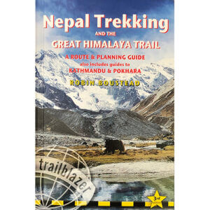
Nepal Trekking and the Great Himalaya Trail, Trailblazer Publications (pictured right) is the only guidebook designed to work as a trekking guide with the GHT maps and GPS files and you can buy it through the GHT Shop! There is also a Pictorial Guide (pictured left), which is great for inspiring your route planning, reminiscing and as a gift for Himalaya-philes!
The best of the specialist pocket trekking guides currently available are from Trailblazer: Trekking in the Everest Region by Jamie McGuinness and Trekking in the Annapurna Region (currently being updated) by Bryn Thomas. Of the other publications that cover some of the major trekking routes, many are now quite out of date and/or only describe the main trail and few side and connecting trails. A local publisher in Nepal, Himalayan Map House, produce some inexpensive field guides to popular trails and available through their website see : Himalayan-maphouse.com.
Route Guides

Nepal Trekking Maps
During the 1990s, INGO Finaid sponsored a new topographic survey of Nepal, which resulted in a broadsheet 1:25,000 (covering the terai and pahar) and 1:50,000 (covering the high mountains) series of maps of the entire country. These are the most accurate maps in Nepal and are sold from a small shop on Bhaktapur Road in Kathmandu called Maps of Nepal (near Everest Hotel, New Baneshwor) for the modest amount of NRs350 each. However, the geographic grid system they use does not mesh with the more recent WGS 84 (used by Google Earth, GPS devices and most mapping companies), so if you are using a GPS with the Finaid maps for navigation make sure you can change your settings.
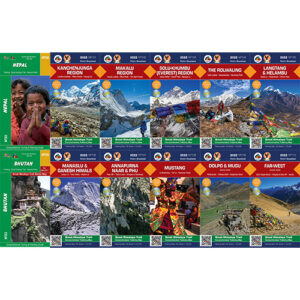
Himalayan Map House publish a range of Great Himalaya Trail maps (see below) designed to work in combination with the Nepal Trekking and Great Himalaya Trail guidebook. These mapes are accurate to scales between 1:100,000 and 1:150,000 depending on the region, waterproof and updated every two-three years. For more information, free downloads or to buy the maps online see below.
There is also a broad range of less expensive and less accurate maps in Nepal. The best of these are produced by Kartographische Anstalt Freytag-Berndt und Artaria, Vienna, Austria (normally referred to as the Schneider maps after the original cartographer) but the place names on these maps often do not reflect local pronunciation, some of the routes have now changed and they only cover the main trekking regions.
India Trekking Maps
It is illegal to print and sell topographic maps of border regions in India, so we’ve made a massive digital topographic map of North West India (Uttarakhand, Himalachal Pradesh, Kashmir and Ladakh) that we can send to you for FREE! The file is 500MB so we have to send by a file transfer system, if you want a copy, please Get in Touch.
Bhutan Trekking Maps
We produce a GHT Bhutan Route and Planning guide map (see below), which is the best detail that we can currently make. We hope that the Government of Bhutan allows free access to their topographic data in the near future so that we can make some larger scale maps for trekkers.
Trek Guides, Maps and GPS for Nepal, India and Bhutan
Donate to the GHT
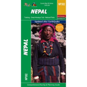
$10.00GHT Country Map Nepal (large)
$47.20GHT Digital Country Map Nepal (large)
$10.00GHT Digital Map Annapurna, Naar and Phu
$10.00GHT Digital Map Dolpo and Mugu
$10.00GHT Digital Map Everest Region
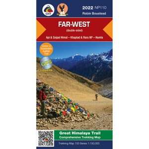
$10.00GHT Digital Map Far West Nepal
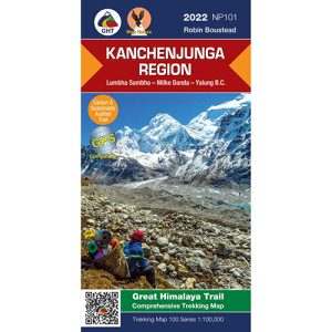
$10.00GHT Digital Map Kanchenjunga
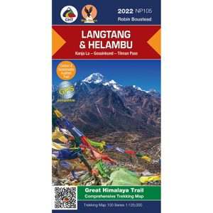
$10.00GHT Digital Map Langtang and Helambu
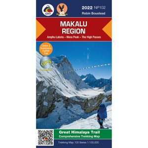
$10.00GHT Digital Map Makalu
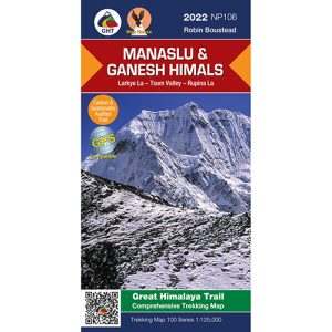
$10.00GHT Digital Map Manaslu and Ganesh Himals
$10.00GHT Digital Map Mustang
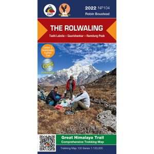
$10.00GHT Digital Map The Rolwaling
$10.00GHT DIGITAL Maps of Nepal Bhutan India
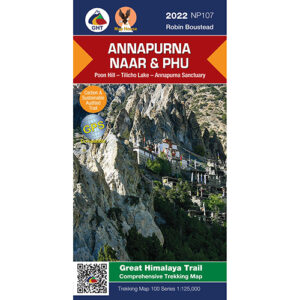
$100.00GHT Map Annapurna, Naar and Phu
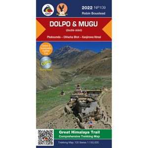
$23.00GHT Map Dolpo and Mugu
$23.00GHT Map Far West Nepal
$23.00GHT Map Kanchenjunga
$23.00GHT Map Langtang and Helambu
$23.00GHT Map Makalu
$23.00GHT Map Manaslu and Ganesh Himals
$23.00GHT Map Mustang
$23.00GHT Map Set Nepal by DHL Courier
$215.00GHT Map Set Nepal by Post
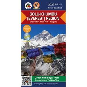
$185.50GHT Map Solu Khumbu – Everest Region
$23.00GHT Map The Rolwaling
$23.00GHT Nepal Pictorial Guide (hard cover)
$89.95GHT Nepal: Pictorial Guide (soft cover)
$69.95Nepal Trekking and the Great Himalaya Trail, 3rd Edition
$33.45


GPS Waypoint Files
For those wanting to plan treks on Google Earth or create waypoint files for a GPS, we have a free set of GPX files for almost every trekking route in Nepal, India and Bhutan – please Get in Touch if you would like a copy.
You’ve Made Your Plan – Now It’s Time to Gear-Up!
Once you have a clear idea of your route plan, you should be able to make an equipment list. For example, you’re crossing glaciated passes, you’ll need crampons, so time to check your Mountain Clothing and Equipment.